Customized Reading
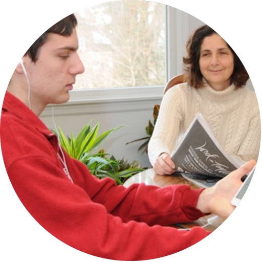
Customize your reading experience with ebooks in audio, audio + highlighted text, braille, large font, and other formats.

1,282,818 Titles
Access the largest library of textbooks, bestsellers, children's books, career resources, and more for people with reading barriers.

Read Anywhere
Read on almost any device, including smartphones, tablets, Chromebooks, computers, and assistive technology devices.

Lowest Cost
Get unlimited access: FREE for qualified U.S. students and schools, low annual fee for adults, and reduced fees in certain countries.
Educators
Educators get textbooks and educational materials students need in easy-to-read formats. See solutions for educators.
Students / Parents
Students in kindergarten to college and beyond access school and leisure books on their own. See solutions for students and parents.
Adults
Adults access books to pursue careers, stay informed, and enjoy bestsellers and newest releases. See solutions for adults.
Global
People in over 70 countries access Bookshare to pursue employment and education. See global solutions.


 Human-Narrated Audiobooks for Teens


